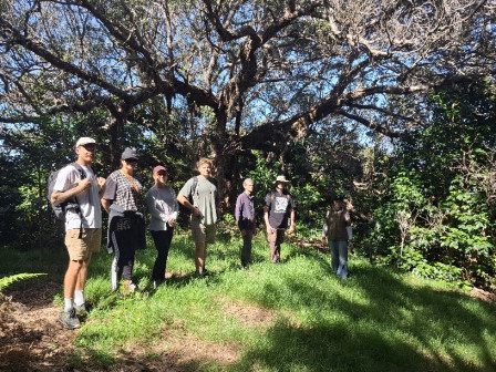
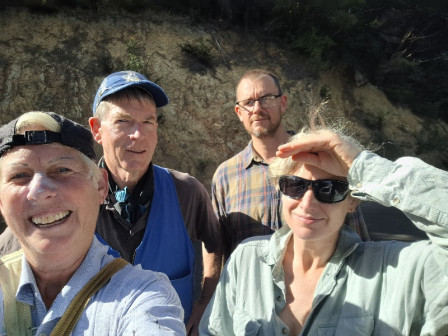
 Left to right: Liam, Kylee, Kellie Rae, Damien, Norm, Reuben (Pouteria and Wildwood) and Fiona photographed under ancient pohutukawa, Pohutukawa Ridge, Te Matuku Bay Scenic Reserve.
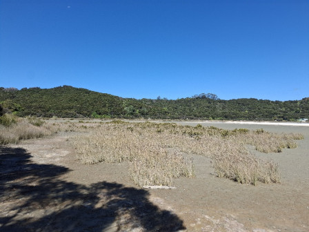
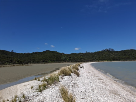
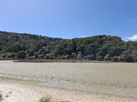
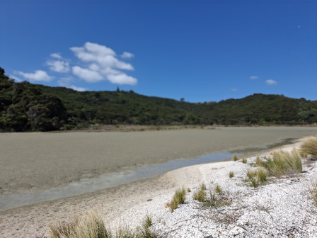
Today M and Reuben accompanied members of the Waiheke Local Board and some of their advisors on a tour around Te Matuku environs, including a walk through Te Matuku Bay Scenic Reserve, including a visit to the shell bank. Points of interest covered per Guide prompt sheet at bottom of this post.
We were blessed with a blue sky sunny day and the bush paths were mainly dry underfoot.
Tea and scones marked the end of the tour.
Hopefully, the Local Board now have a better understanding of beauty and ecological value of the Te Matuku environs and the local issues.
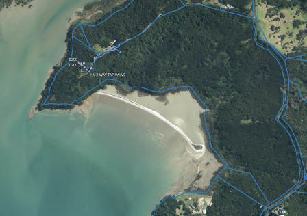
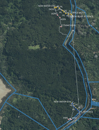
Track log as below.
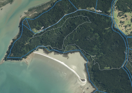
ROUTE POINTS OF INTEREST
Stockyards Reserve
Public toilet in Stockyard Reserve
Stewardship Reserve
Road ford (see prior blog post)
Proposed fill site (see prior blog post)
No exit from Council Track onto Orapiu Road at present / no KDB station
Cowes Bay Viewing Point
Historic Precinct
Valley wetlands
Proposed fill site
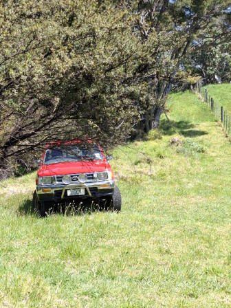
Driving to Orapiu Wharf
RHS - road reserve width – mostly suitable for off road walkers (if mown)
LHS - where, we understand, the proposed fill site would enter
If recent rains – spring exiting from centre of Orapiu Road
RHS - where Walking Track could come out if new route
LHS - fenced pa site
RHS - pa site
Council Track south entrance
Public toilet at Orapiu Wharf
Walking Track entrance
Marine Reserve extent
Driving Orapiu Wharf to Hotere Lane
LHS - New DoC covenants
LHS and RHS - blanket asparagus
Council Track South Entrance Ngai Tai Reserve boundaries
Road reserve issues (underslip potential)
Possible fixes (new parking platform and Walking Track route)
Existing Council Track entrance is weediest part of reserve by # of weeds given garden
escapees and storm water culverts
Pohutukawa Ridge
Kauri Die Back spray boots/shoes
H & S briefing
Walk TM Point Lane
8,24,78 have received Buffer Zone Funding (inconsistent treatment of ER)
Viewing point after Thorne’s gate
Walk in Te Matuku Bay Scenic Reserve
DoC carpark and where DoC easement ends
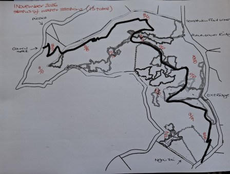
Water stations, hose lines
Stop at view point, look over to Historic Precinct Reserves and fill site in relation to Bay
Mangroves extend more than historically (see Historic Cemetery prior blog post)
Fenwick peninsula & kiwi release
Stop at where Council Track passes over grasslands – lack of clarity around where Council Track
goes – leading to … issue with walkers trespassing over Te Matuku Point Lane
Grasslands was a seething mess of moth when volunteers started
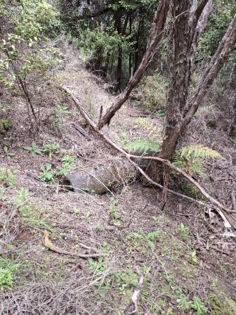
Obstacles on Council Track currently (I,e. track needs clearing)
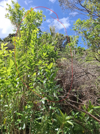
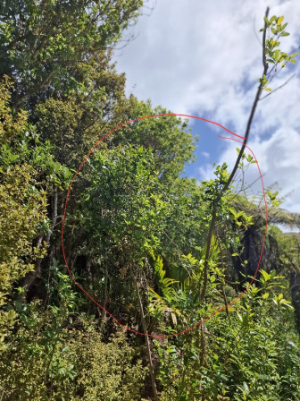
Moth plant hot spots en route (under big Pohutukawa, banks, around photo point 8 – another
dope plot)
Wetland 1
In Esplanade Reserve (Council’s area) there is asparagus
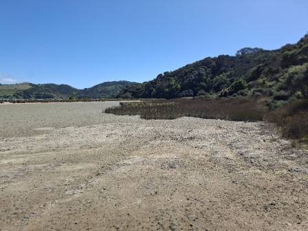
Shell bank
Ecology
Pa sites
“Wattle”
Kauri stands
Mature bush in south facing valley heads
Mangrove incursion behind shell bank
Marine Reserve
Three Sisters
Fenwick Peninsula
Oyster farm
Quarry
Verisimo’s planting
Continue walking in Te Matuku Bay Scenic Reserve
Shell crusher
Photo point 3
Swamp maire
Big Dope Plot – moth plant hot spot
Four Corners – moth plant hot spot
Exit Ridge – moth plant hot spot and “M’s (gorse) paddock” (no longer)
Maori archaeological sites
 The 2026 / 2027 season has started! Contractors (Wildwood - Rose and Reuben) and volunteers M and T started work in TMBSR today. We work as a team of 4 early in the season so as to maximise control, during spring, of pest plants that would be a problem later in the season. Resource allocation and timing is key!
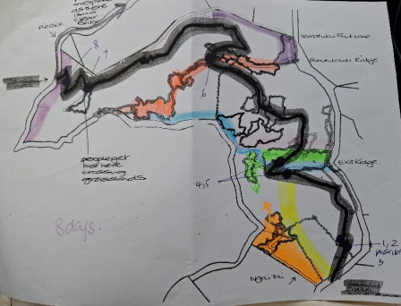 Each colour represents a day. 8 days in November, 2 per week. Starting at the southern end of TMBSR working north, hitting off the major hotspots, polygons and areas M has identified as priorities from her audits. At the end of the month we can look back and see how we did. On blue and green days we will probably get most of willow valley covered off too.